Nuclear Power Plants and Earthquake Risks

Posted by Infra on Tuesday, March 29th, 2011

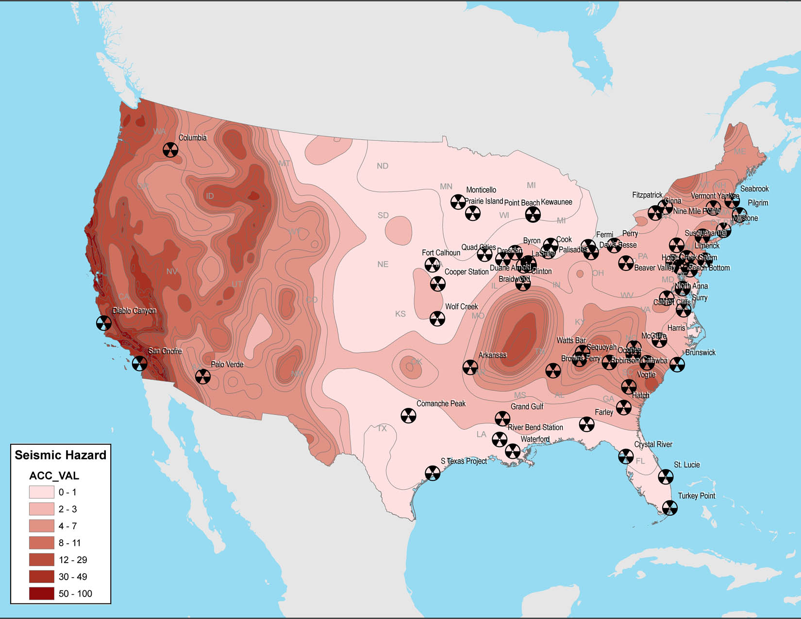
“This map shows areas of equal seismic hazard and indicates the minimum peak horizontal ground acceleration value, a measure of the how hard the ground shakes in a given area. The map also shows locations of the 63 US nuclear power plants. The data comes from the US Geological Survey Geological Hazards Team and the US Energy Information Administration.”
-Greenpeace.org

New maps of nuclear power plants and seismic hazards in the United States
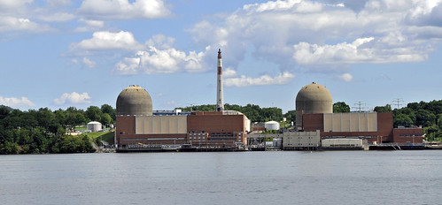
Indian Point Nuclear Power Plant

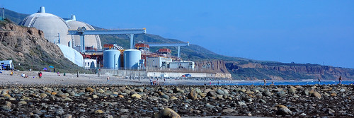
San Onofre Nuclear Power Plant

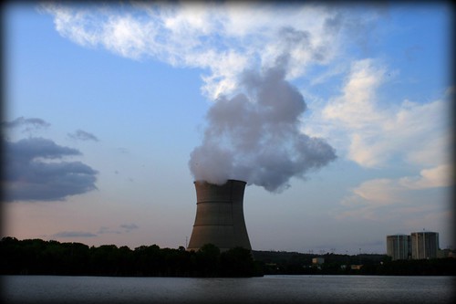
ANO @ Dusk

Plant Vogtle - 30 ish miles south of Augusta, GA

Tags: , , , , , , , ,

Comments are closed.

Follow InfraUSA on Twitter Facebook YouTube Flickr

CATEGORIES


Show us your infra! Show us your infra!

Video, stills and tales. Share images of the Infra in your community that demands attention. Post your ideas about national Infra issues. Go ahead. Show Us Your Infra!  Upload and instantly share your message.

Polls Polls

Is the administration moving fast enough on Infra issues? Are Americans prepared to pay more taxes for repairs? Should job creation be the guiding determination? Vote now!

Views

What do the experts think? This is where the nation's public policy organizations, trade associations and think tanks weigh in with analysis on Infra issues. Tell them what you think.  Ask questions.  Share a different view.

Blog

The Infra Blog offers cutting edge perspective on a broad spectrum of Infra topics. Frequent updates and provocative posts highlight hot button topics -- essential ingredients of a national Infra dialogue.


InfrastructureUSA: Citizen Dialogue About Civil Infrastructure