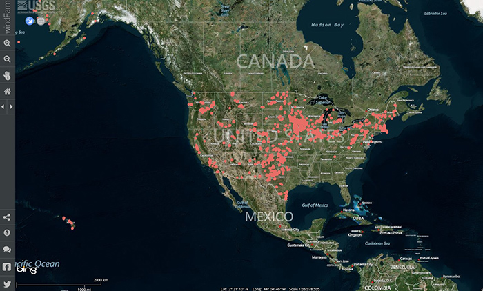
The U.S. Geological Survey (USGS) created this sleek, highly functional interactive map to illustrate the country’s vast network of wind turbines. Vital stats are available for each site, and you can filter results by unique parameters like total height, capacity and blade length. Wind energy aficionados, stakeholders and curious citizens couldn’t ask for a better visualization of our at-home wind farm network.
Tags: United States Geological Survey, USGS, Wind Energy, Wind farm, Wind Turbines


 RSS Feed