WORLD RESOURCES INSTITUTE
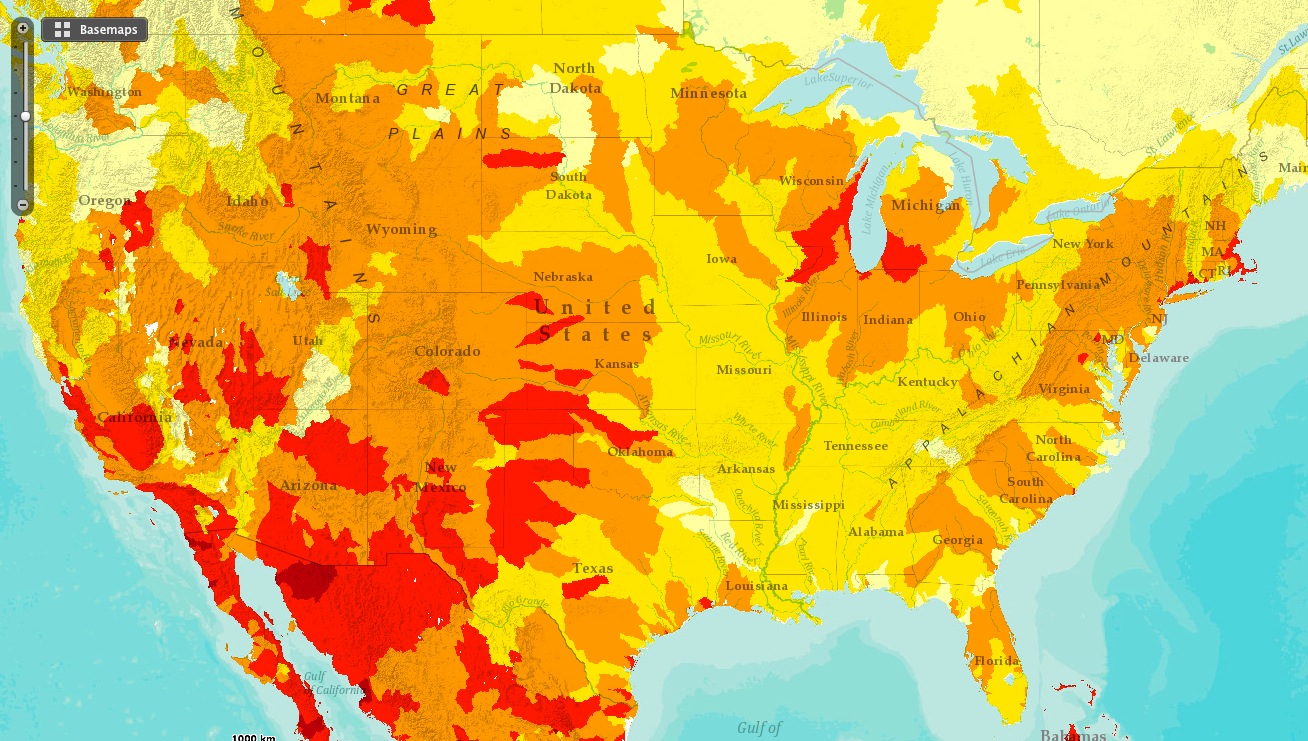
The Aqueduct Water Risk Atlas combines twelve water risk indicators to create overall maps of where and how water risks may be prevalent. Follow these steps to get started.
- View an individual indicator map. Hover over the question mark to learn more about that indicator.
- View overall water risk maps generated using WRI’s pre-set industry sector indicator weights.
- Open Advanced View to customize indicator weights
- Input or upload locations for study, and export those results to Excel.
- View up-to-date water risk stories on the Atlas.
View Interactive Map (WRI.org): Aqueduct Water Risk Atlas
About the World Resources Institute
www.wri.org
“WRI focuses on the intersection of the environment and socio-economic development. We go beyond research to put ideas into action, working globally with governments, business, and civil society to build transformative solutions that protect the earth and improve people’s lives.”
Tags: Aquaduct Water Risk Atlas, World Resources Institute, WRI


 RSS Feed