Google Crisis Map
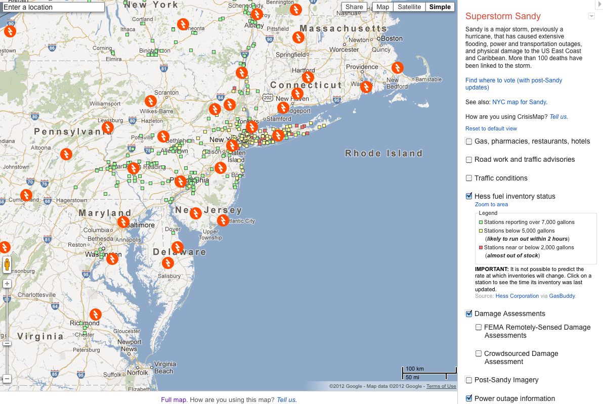
See the interactive map here: google.org/crisismap/2012-sandy
This map displays information about current crises and events for which the Google Crisis Response team has collected geographic information. The data comes from a variety of sources, including official information sources and user-generated content. See the Layers list for additional details about each layer.
Tips for using the Goggle Crisis Map:
- Zoom the map using either the on-screen controls or your mouse.
- Find additional layers in the Layers list, where you can turn them on or off. Scroll to see all layers.
- Zoom to an appropriate view for each layer by clicking the “Zoom to area” links in the Layers list.
- View selected layers in Google Earth by clicking the “Download KML” links in the Layers list.
- Share the map in e-mail by clicking the Share button and copying the URL provided there. The URL will restore your current view, including the set of layers that you have turned on.
- Embed the map on your website or blog by getting a snippet of HTML code from the Share button.
- Share the link on Google+, Twitter or Facebook by clicking the appropriate button in the Share window.
Tags: Gas, Google Crisis Map, Hurricane Sandy, power outages, shelter locations


 RSS Feed